Project Being Considered
Project at glance
- New generation lithium-ion batteries
- Up to 150MW storage - subject to final design
- 2 MW solar array
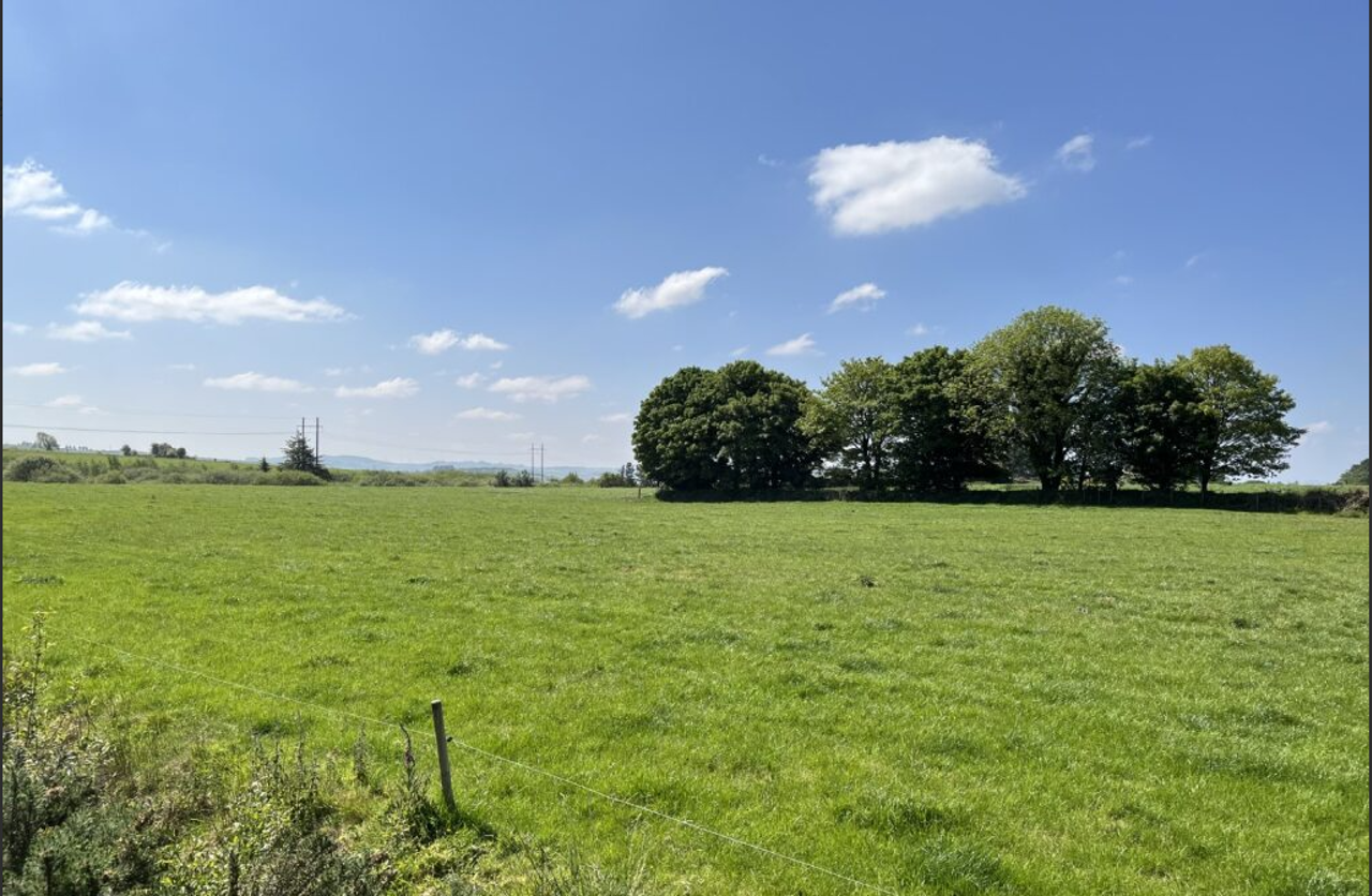
- Approx. 6.4 hectare site
- Environmental screening report as part of application
- Screening and tree planting plan as part of planning application Benefit Fund of €25,000 a year for 10 years from the commencement of construction
- Proposal will be submitted to Cork County Council in the coming weeks
Project Proposal
We are confident that this proposal will play a crucial role in advancing the energy transition in Ireland's South West, while also providing significant benefits to the local community and its residents.
This proposal is to develop a Long Duration Energy Storage (LDES) facility and a 2 MW solar array in the Derryroe area, North East of Macroom, Co. Cork. The proposed site is adjacent to the 220 kV Clashavoon electricity substation. The planning application is scheduled to be lodged with Cork County Council in the coming weeks and a subsequent application will be made for the grid connection the following year.
It is important to Statkraft that our projects are considered in terms of the climate challenges being addressed. It is also vital that they are appropriate for the area, suitably located and delivered as part of a just transition. In addition, these projects bring real benefits to local people and support the economic, social, and environmental sustainability of local areas.
Why did we choose this location?
A national review (link) of Ireland’s grid infrastructure has been carried out to identify the most suitable locations for energy storage facilities. These sites are typically chosen near existing electricity substations to minimise the need for long transmission cables, which helps reduce environmental impact and ensures a more efficient connection to the grid. Once potential sites are identified, they undergo detailed assessments covering technical aspects such as landscape, ecology, and hydrology to ensure they are appropriate for development and operation.
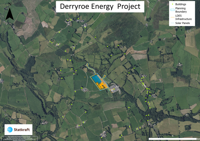
Click image to open map